|
490th Bomb
Group, Eye Airfield Tour
July 15th
by
Stephen A. Carr
|
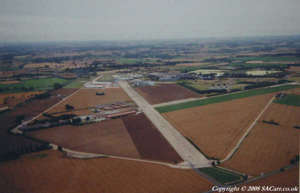
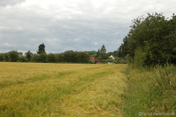
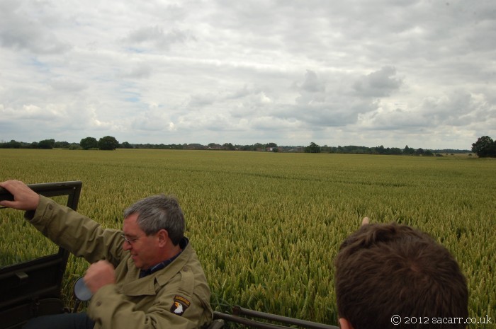
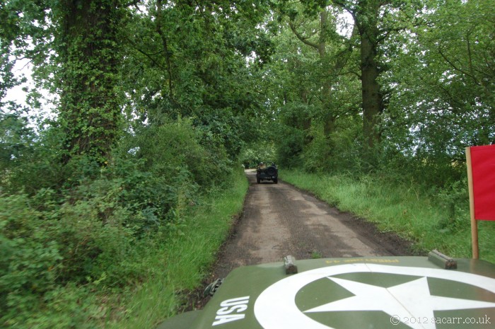
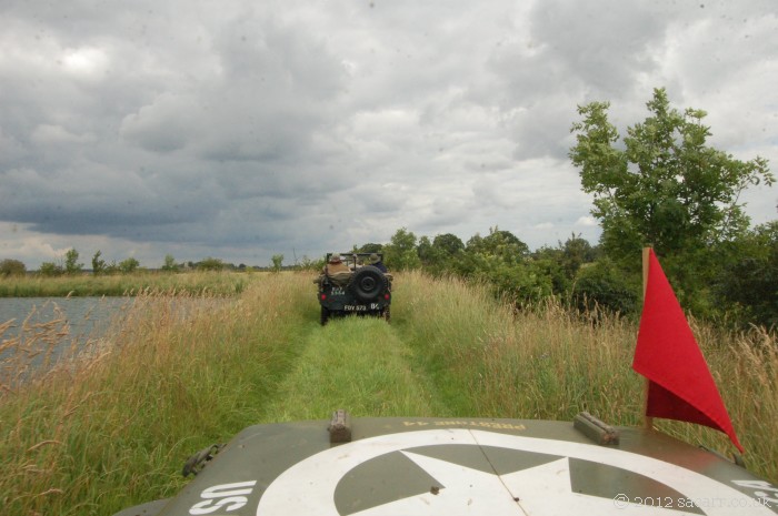
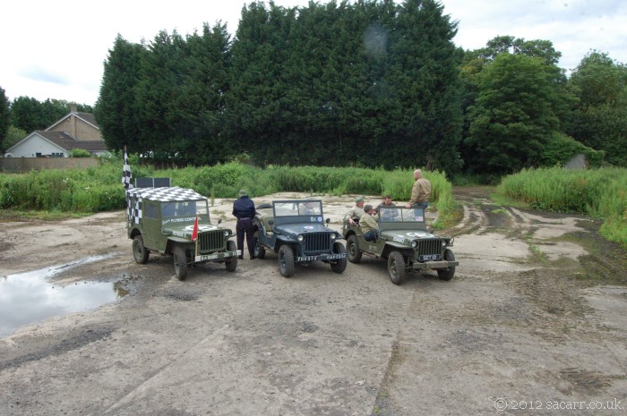
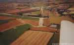
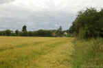
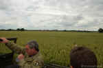
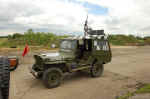
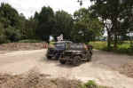
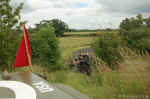
On
Sunday 15th, a few survivors of the Saturday convoy took a guided tour
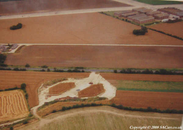
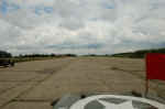
of Eye Airfield. The airfield is shown below in the first three
pictures taken in 1997. The tour began at the crash site of a B-17 in
a field on the edge of the airfield. It came down on an English work
party clearing ditches at the edge of the field, killing everyone.
|

|
|
|
|
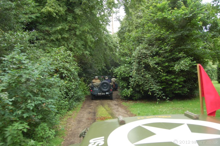
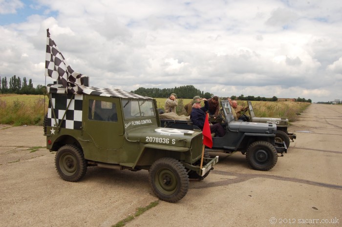
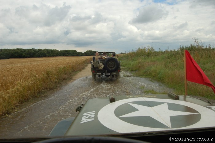
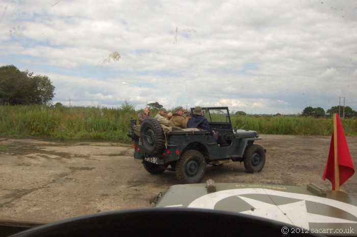
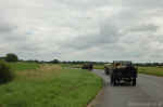
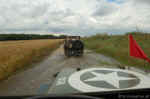
From
the crash site, we went through the Cornwallis Hotel grounds, and
South on the A140 along the edge of the airfield, crossing the
perimeter which contained several loop dispersals on the other side of
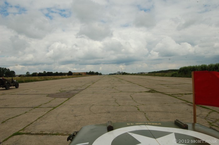
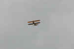
the A140. We then turned onto the main runway and stopped at the
Southern end where the perimeter track meets the runway. We had a
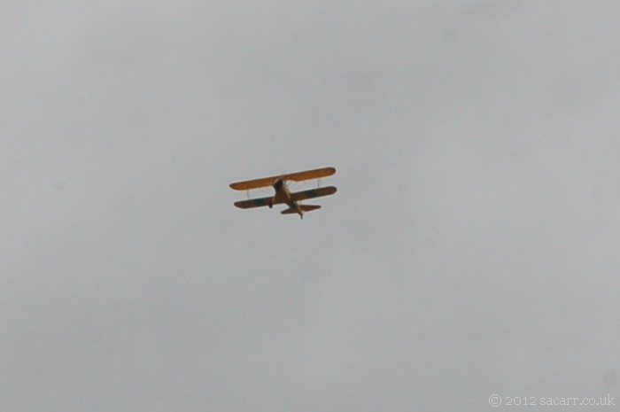
wartime photo of this location which is little changed. While there, a
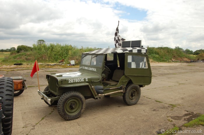
Boeing Stearman Kaydet flew over head. We then drove along the runway
as far as the second runway intersection.
|
|

|
|
|
|
|
|
|
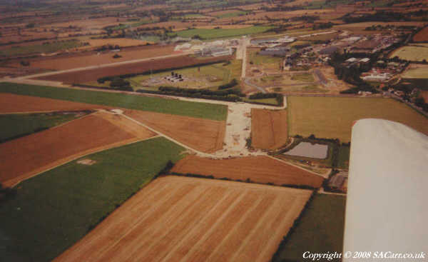
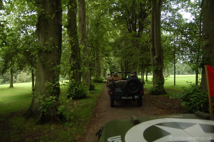
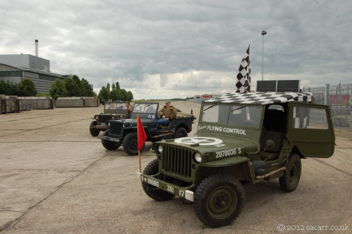
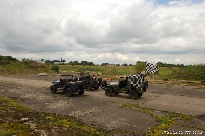
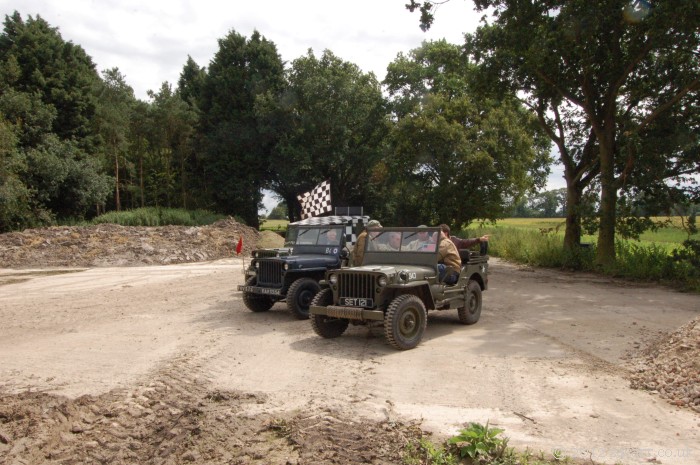
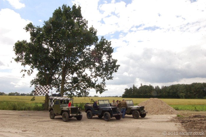
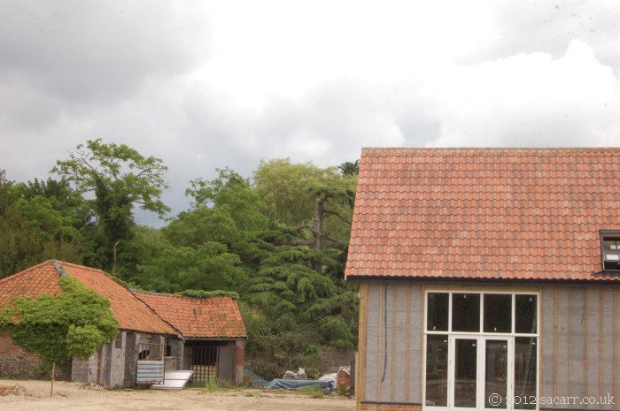
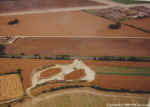
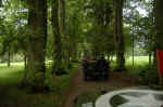
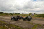
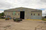
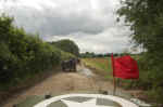
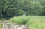
| We
turned around and headed back down the runway, turning left along the
perimeter track next to the field where the bomb dump was located,
seen in the second picture below. Continuing along the perimeter, we
arrived at the end of one of the secondary runways, of which only a
few hundred feet remains at its full width. From there, we could see
Maurice Hammond's house which could also be seen in a wartime photo.
Maurice owns the Warbird fleet based at Hardwick. |
|
|
|
|
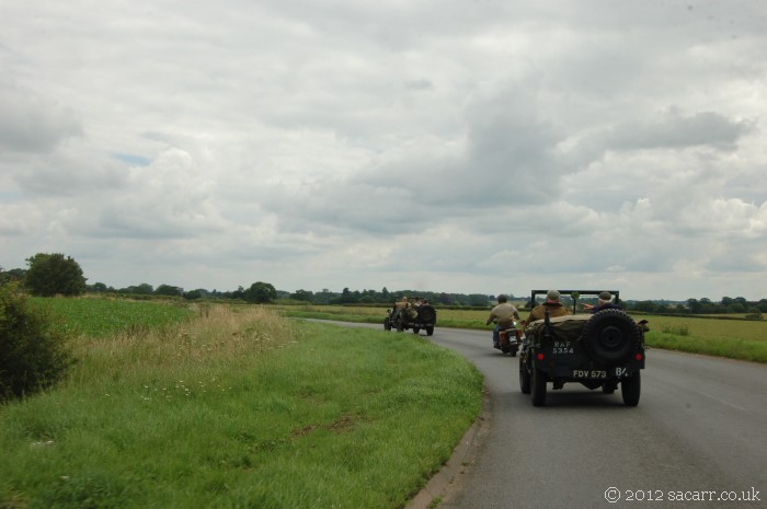
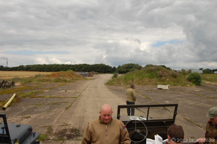
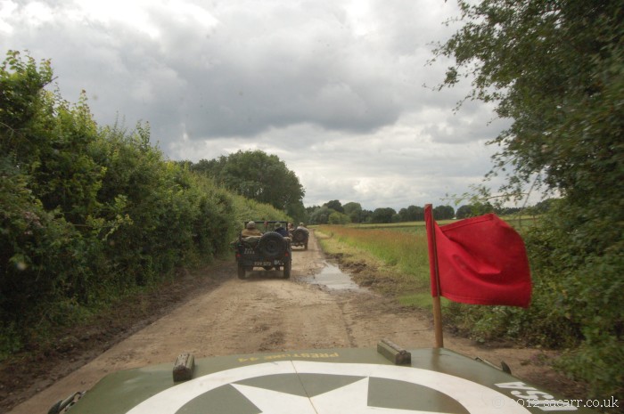
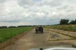
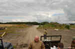
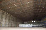
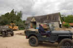
| Turning
off the airfield down some farm tracks, we then drove North, up the
East side of the airfield, turning in at the Technical Site where one
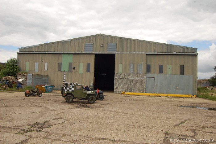
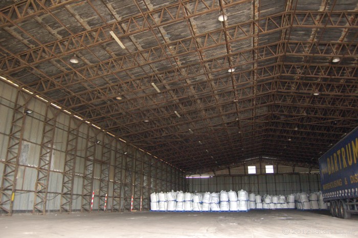
of the wartime T2 hangars was located. Since the doors were open, we
could see inside and it looks little changed from WW2. Some additional
strip lights have been added, and it has been re-clad, at least in
places, but otherwise eerily unchanged. We wondered how many B-17's
and B-24's had passed through those doors after major maintenance.
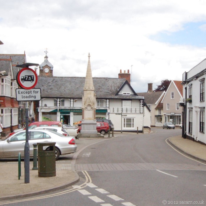
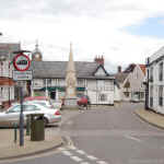
From there, we went
through Eye village, to compare the village square with another
wartime picture, and again, it has little changed. After that, the
tour left the flying side of the airfield and moved into the
accomodation areas. Due to the maze of small roads, I can't be sure
exactly where the pictures were taken.
|
|
|
|
|
|
 |
 |
 |
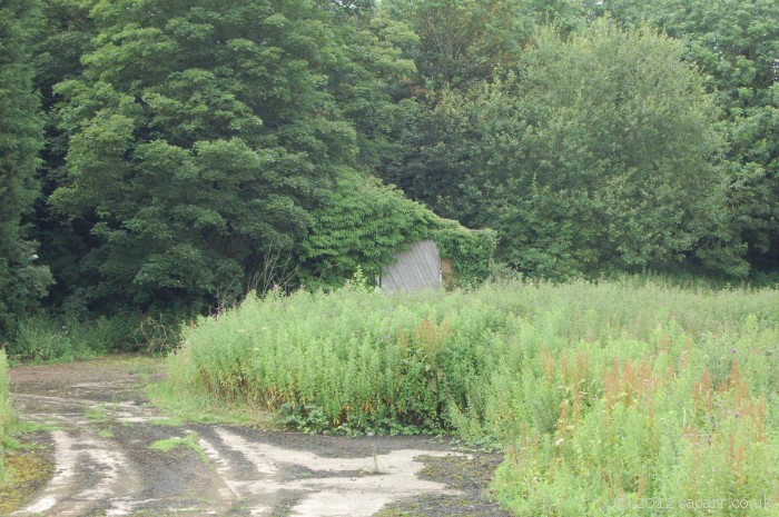
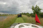
| In
the third picture below, there's a tree which has had its top sliced
off, just next to the house closest to the camera. We wondered if this
was the tree hit by a P-51 buzzing the field which crashed near by.
After a short off road section next to a lake where another
accomodation site was located, we ended up where the last two pictures
were taken; the site of the base hospital and mortuary.
These sites can be
seen using Google Earth which has aerial views of the airfield dating
back to 1945.
|
|
|

|
|
 |
 |
 |
 |
|